Welcome to SENDITUR.COM · paths · routes · tourism
![]() Difficulty-Low
Difficulty-Low
![]() 1:30 h.
1:30 h.
![]() 3.6 km.
3.6 km.
![]() Difficulty-Low
Difficulty-Low
![]() 1:30 h.
1:30 h.
![]() 3.6 km.
3.6 km.
The rocky massif located between Tobía and Anguiano, in the foothills of the Sierra of la Demanda, houses, among others, the Path of the Jump of the Water. Having a high landscape and natural value, the rocky cliffs is the habitat chosen as a nesting place by rocky birds.

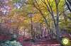
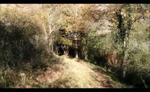
The route up to the Jump of the Water gives us the opportunity to observe the different species of these birds as well as enjoying the contrast offered by the singular flora found in the shady ravine with the reddish rocks. The Path of the Jump of the Water with just, round trip, is suitable for any walker, starts in the town of Matute along its streets to leave it and arriving, along a way, to the information panel where the detour is located, which descends in search of the stream Rigüelos. The path goes inside the narrow ravine of Manzanar going up the winding course of the stream to end at the Jump of the Water. The return we will do it returning by the same place.

This route allows us to observe various birds of prey such as the eagle and the eagle owl, the peregrine falcon and hopefully some other vulture, but not only large birds if not others such as the red rocker, the red-tailed redstart or the chough piquirroja also live in these cliffs. The place welcomes us with an interesting diversity of vegetation typical of banks and mixed forests, ashes, walnuts and hazelnuts along with other sunnier environments, maples, albares or hawthorns.
In the rocks next to Matute, according to legend, we will find excavated in the rock the staircase of Ociso, which strangely has no known destination.
Access to the town of Matute, 16 km from Nájera, is via the local road LR-432 from Bobadilla to Tobía. The daily bus service, which connects the localities of the region with Nájera, also has a stop in Matute. Following the LR-113 that joins the towns of Nájera and Salas de los Infantes we will arrive at Bobadilla, where there is the detour that leads us to Matute. The unmistakable silhouette of the Peñas de Matute and Tobía let us intuit the Manzanar ravine through which the Rigüelos stream flows. Once we have taken the detour along part of the Route of the Monasteries, we have to leave this road to turn towards these rocks where Matute is located at its base. When you pass the road through the town you will find the signs that will take you to the parking area of the route, or you can go into the town to leave your vehicle, either next to the fronton just after entering or a little further on, in the square.
An ideal route, through good terrain where the vegetation leaves enough amplitude.
Except in Matute, we will not find water points but the route runs along the riverbed with innumerable accessible places, also except for the short stretch to the ravine, the route is through cool and shady areas.
The route through the ravine has gates that prevent the passage of livestock, the rocks that surround it are the natural habitat of various species of birds, some of them birds of prey and through Matute we will find some pets.
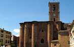
The route begins in the Plaza de Matute (0h 00min) where the church is located and we can leave our vehicle. In this square, just at the beginning of the main street, there is a sign with information about the route, which starts from this point and is marked with white and purple marks.

Shortly after crossing the Calle Mayor, we will leave it on our left, as the path continues along Calle Orive until it leaves the locality, extending just 200m in a winding but gentle ascent, along a track in good condition until we find another informative sign indicating the detour (0h 10min).

From here we can contemplate the contrast of the landscape, the reddish of the enormous rocks with the green of the vegetation of the shady ravine.
Leaving the track behind us, the path descends, prepared with wooden steps in its final part, quickly in search of the Rigüelos stream.

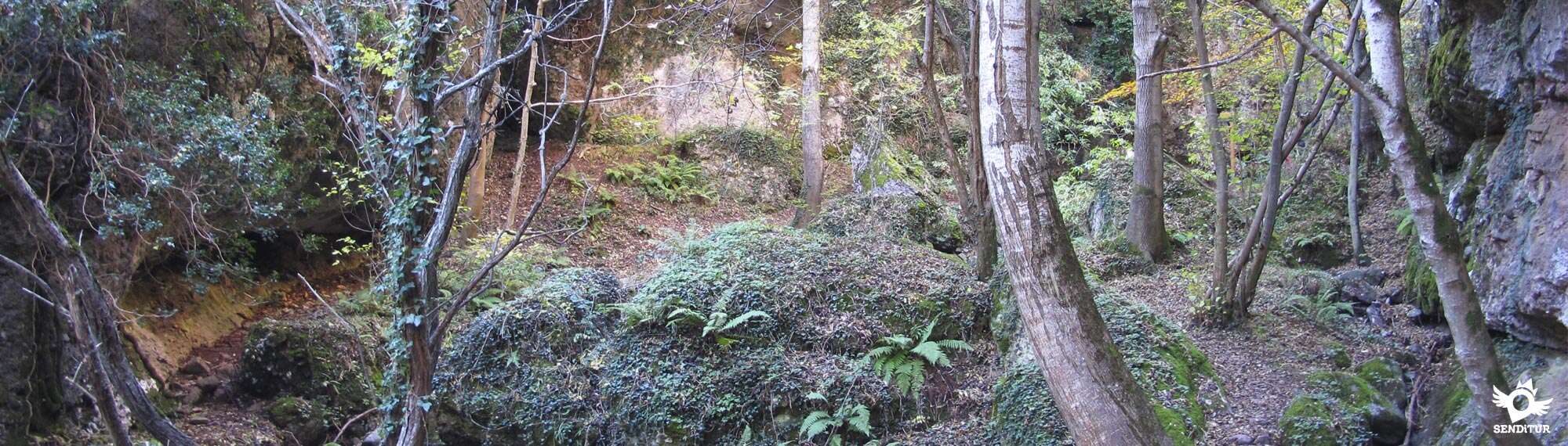
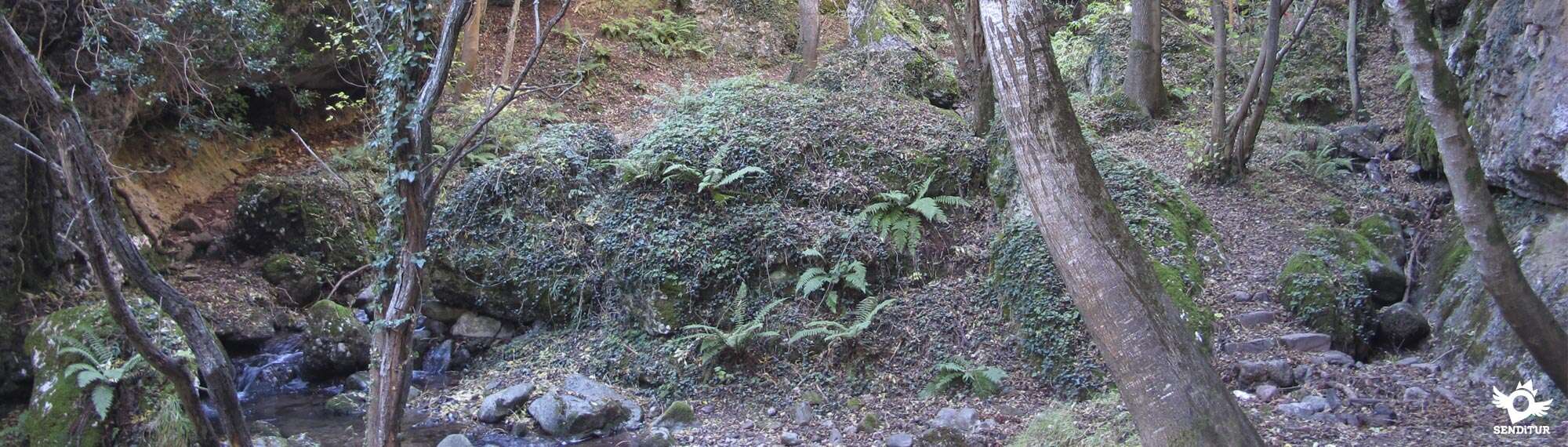
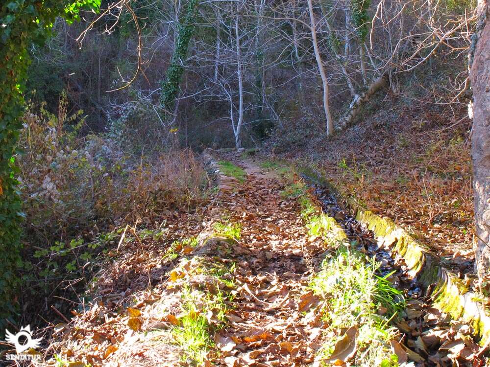
As soon as these stairs are finished, the path joined to an irrigation ditch goes up the riverbed and enters the Manzanar ravine. After this first contact with the interior of the ravine this gains width to give way to a small clearing.

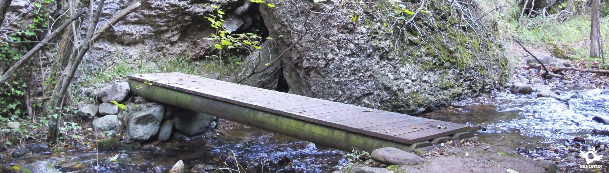
The path continues the course of the stream crossing it several times with footbridges prepared for it, ascending and entering more in the ravine until arriving at a gorge where the Jump of the Water awaits us (0h 45min).

In this place the route ends and the conditioned path, some enormous rocks block the passage, although an artisan staircase, made of trunks, facilitates us to save the 3 or 4 meters of climbing that separate us from having another perspective of the narrow ravine. The way back is made by the same route, going up to the Detour (1 h 20min) and returning by the track to the Square of Matute (1h 30min).
 Distance. 3.6Km
To this figure must be added the distance travelled from the car park.
 Time. 1:30h
Back and forth without counting the time spent if we climb to the rock at the end
 Time of year
Preferably in not very dry season, to be able to enjoy the stream with the sufficient flow.
 Required equipment
Clothes and sports or mountain footwear according to the time of the year and the weather. Consult our list of material and equipment for hiking. Read more.
 Difficulty. Low
Physical
It does not have any physical difficulty, except for a couple of small steeps, the path runs comfortably ascending softly next to the course of the stream up to the Jump of the Water.
Severity of the environment
Tour without any technical difficulty. At the end of the route and as an extension of it, for the more adventurous, a handcrafted staircase made with wooden trunks helps to save the wall that represents a huge rock that blocks the passage originating the Jump of the Water. This extension is out of the route that ends in this place and although to cross this obstacle, thanks to the staircase, it does not have a great difficulty if it is necessary to consider the vertical difference that saves (3 or 4 m) and the precariousness of the same one, not being fixed to any place, in addition the humidity of the place can make that we are with the somewhat slippery rock, propitiating these factors that the descent becomes complicated for someone inexperienced.
Orientation
The route is perfectly signposted, equipped with walkways for the points where the path must cross the stream and with some door to prevent the passage of livestock.
 |
 |
 |
 |
 |
| 1-Square de Matute | 0:00h | 681m | 0Km | 30T 516865 4682941 |
| 2-Detour | 0:10h | 714m | 0.6Km | 30T 516771 4682512 |
| 3-Jump of the Water | 0:45h | 757m | 1.8Km | 30T 516211 4681658 |
| 4-Detour | 1:20h | 714m | 3Km | 30T 516771 4682512 |
| 5-Square de Matute | 1:30h | 681m | 3.6Km | 30T 516865 4682941 |
Coordenadas UTM Datum WGS84

 Slope: 302m
 Slope +: 151m
 Slope -: 151m
 Maximum altitude: 757m
 Minimum altitude: 681m

This sketch of the route is not made to scale nor does it contain all the information relating to the area, it is merely indicative.

![]()
This schematic with the path is approximate and has been created from the derived cartographic base© Instituto Geográfico Nacional "Cuadrante 241-11:25.000".
Senditur has manipulated the tracks to correct the aberrant points that may exist, caused by problems with the reception of the GPS signal. In any case the tracks are always approximate.SENDITUR encourages you to use the new technologies within your reach, using them as support and consultation in your activity, not basing the realization and orientation of the same only and exclusively on them, since they may see their functioning altered by very diverse causes, not functioning correctly and their indications may not be precise.


Cradle of the Castilian and pantheon of the seven Castilian heroes

Location of the Virgin of Valvanera, Patron Saint of La Rioja
Emblematic place that reflects the stages of history, art and culture of the area


Find out what to see in...
¿Did you know that...
The path goes through the place known as the Fountain of the Health, under the attentive gaze of San Quirico, or San Quiles, which protects us from storms.
Don't miss out...
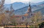
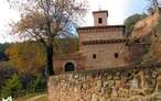
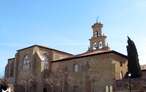
We can take the opportunity to visit the beautiful town of Matute, visiting its noble buildings and churches, contemplate the different architectural styles that are enclosed in them and learn about their history.


From the commitment of SENDITUR with Nature and the respect to the balance of the environment, SENDITUR urges you to travel in a responsible way, with low environmental impact and respecting at all times the Natural, Cultural and Social environment wherever you go.

Besides sharing with all of us your experience on the route we would be grateful if you could write to us to inform us of any erroneous or outdated information you may have found, or simply to let us know what you think at Thank you.
This route has been carried out in the field by SENDITUR on 08-04-2015. The route may vary greatly depending on the time of year, weather conditions and terrain, as well as the actions of third parties and the evolution suffered in the natural environment where it is located. All opinions, advice and/or assessments made by SENDITUR in their descriptions are for guidance only and are subject to and/or refer to the specific conditions of the specific day of the route, referring to that specific day, taken from trained people, with the appropriate experience and with a high level of physical and technical preparation as a reference, as well as correctly equipped.
All the times are approximate and take an orientative character, the stops have not been taken into account, no matter how small they are. All the information related to the route, texts, images, videos, maps, diagrams, tracks, towns, and places of tourist interest are published as a guide, and may not coincide with the current state of each place. Before undertaking any activity, assess your technical knowledge, your physical condition, find out about the weather and the variations that the route may undergo, equip yourself correctly, be prudent and responsible at all times, and do not exceed your capabilities.SENDITUR is not responsible for any misuse or inappropriate use of the comprehensive guides of its routes and/or publications as well as its electronic guides, nor for any variations in their descriptions for the aforementioned reasons, and recommends that everyone be responsible and prudent in carrying out the activity. We also encourage you to read books and specialised guides to complement the information described above.
Continue watching …


.jpg "Go to Monastery of Valvanera")